Graduated, Certified, and Ready to Partner

SymGEO is pleased to announce that we have graduated the Esri Startup Program a year and a half early and have joined the Esri Partner Network as a Silver Tier partner. This elevated partnership status is a direct result of our focus to integrate best-in-class ArcGIS technology into our products and our determination to benefit our clients with a long-term Esri partnership.

“The Esri Partner Network is a rich ecosystem of organizations that work together to amplify The Science of Where. Partners deliver solutions, content, and services using the Esri Geospatial Cloud. Alliances are industry leaders aligned with Esri’s high level goals, joining forces to advance shared initiatives.”

– Esri

We have also been included in the Esri ArcGIS Online Specialty program in recognition of our proven set of value-added services and solutions that help users implement and optimize ArcGIS Online within their organizations.

Finally (for now!), SymGEO is honored to be part of the Esri ArcGIS for Local Government Specialty program. This designation is for promoting and implementing ArcGIS apps, maps and solutions for local government.
“As a proud Esri business partner, we are so grateful for all the support, encouragement, and technical resources that Esri has generously shared with SymGEO. We have benefited tremendously from Esri’s business guidance, shared best practices, and professional friendship!” 

–  Kevin McMaster, Principal, SymGEO

Talk to our industry experts today to hear more about our innovative, cost-effective, mapping solutions that leverage Esri technology – SymGEO is here to help!
Ward7 Community Outreach

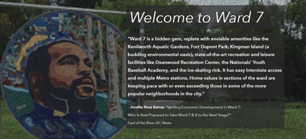
SymGEO was honored to partner with DC’s Ward7 to design and launch a community outreach site designed to present a brief history of the area, a flavor of the neighborhood, the challenges faced due to a changing development landscape, and a call to action for the residents.

Ward7 header

“The genius of SymGEO was exactly what I needed to help jump-start a discussion on the DC Comprehensive Plan/Element Framework, transforming it from a boring review of data sets into an energizing discussion where people can clearly identify themselves in the data and endeavor to become change agents! SymGEO has taken community engagement and data collection to another level! #OneHappyCustomer”

– Ward7 Outreach Committee Chair

The Ward7 Community Outreach site is built on Esri’s ArcGIS Hub framework which offers exceptional design flexibility and mobile responsiveness. The site begins by presenting what makes a successful neighborhood and how Ward7 has achieved its own distinct success.

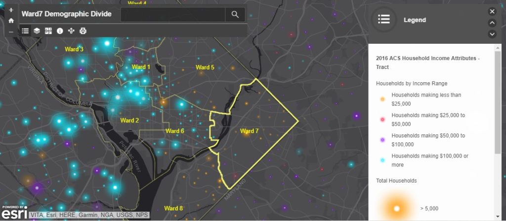
Historic challenges have caused a rather sharp divide between Ward7 and some of its surrounding neighborhoods. This divide was best illustrated with demographic data showing income and education. This mobile-responsive data exploring application was built using Web AppBuilder.

Ward7 data

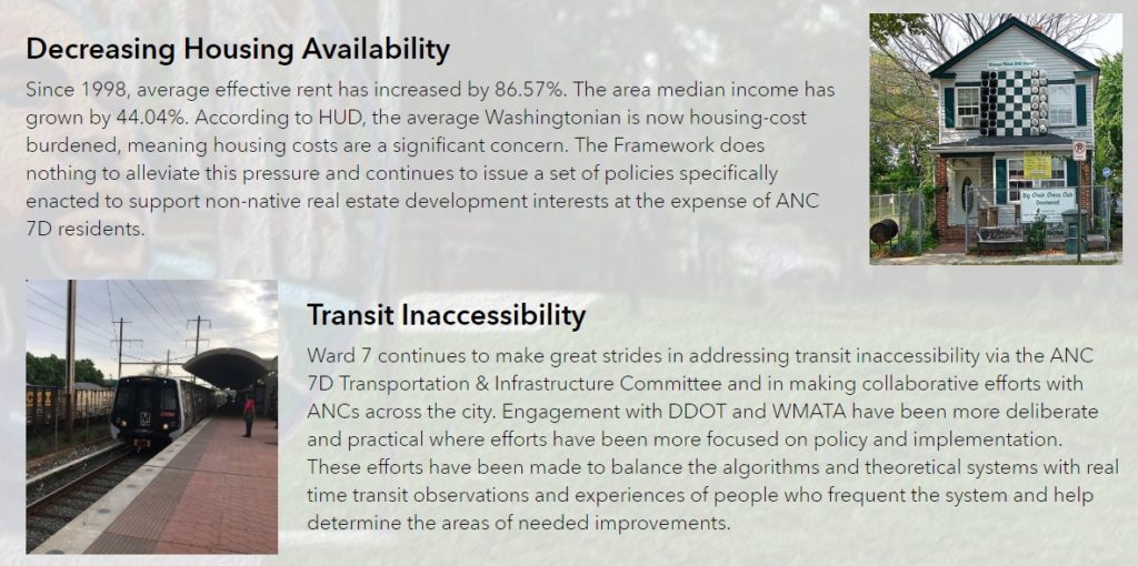
The site discusses how long-term planning and development within Washington DC is guided by the Comprehensive plan, what factors are considered by the plan, and some of the challenges faced by Ward7 during the development process.

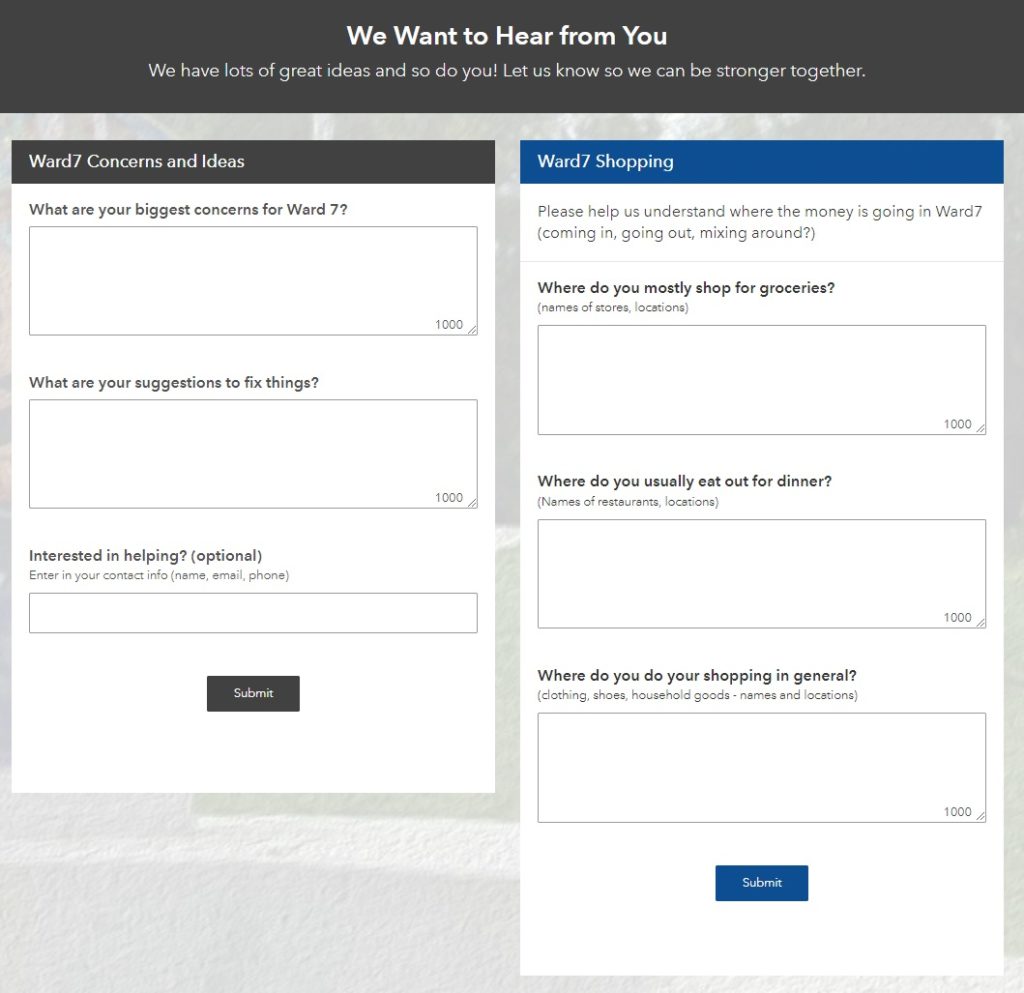
Suggestions on how to improve the plan are offered, and community input is solicited using Esri’s Survey123 for ArcGIS,

ward7 survey

Finally, social media is embedded into the site so that the community can stay up to date with the many events happening in and around Ward7.

ward7 social media

Talk to SymGEO today if your agency or organization is interested in community engagement with the power of Esri’s ArcGIS Online platform – we are certified experts and here to help.

Urban Forest Health

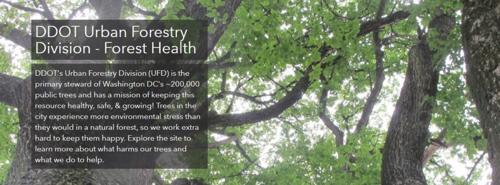
SymGEO is pleased to announce the launch of a Forest Health website for DDOT’s Urban Forest Division (UFD), designed to educate the community on how DDOT (and DC residents!) help keep the urban canopy vibrant, healthy, and productive. In a natural ecosystem, there are many checks and balances to keep a forest healthy. Urban environments present many challenges to trees, which include the urban heat island effect, degraded soil, limited growing space, and the introduction of exotic pests. This can lead to pest infestations and canopy damage if not caught quickly and mitigated efficiently. Fortunately, at the DDOT Urban Forestry Division, dedicated specialists prevent and respond to urban forest health issues on a daily basis.

“We are excited to share our forest health programs with the public in this new format. The new forest health website is dynamic and easy to use, it allows users to learn about pests and pathogens to look out for, while also giving them the opportunity to report their observations.”

– DDOT Urban Forestry Division

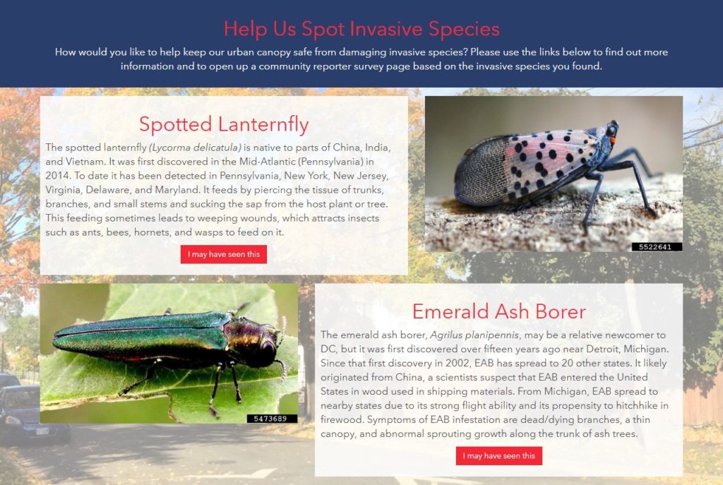
The new Forest Health site discusses a range of preventative measures the UFD takes against pests, including the Early Detection Rapid Response (EDRR) and the Cryptic Wood-Borer Insect (CWBI) programs, as well as how DC residents can identify and report invasive species.

The site leverages Esri’s ArcGIS Hub framework for design and mobile responsiveness and Esri’s Survey123 for ArcGIS for pest reporting. Information is gathered through the website, including pest species, life stage, or signs/symptoms, and is passed to the survey to help the reporting process along.

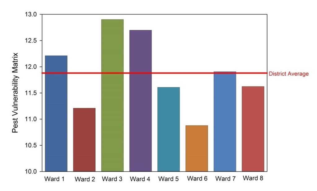
A Pest Vulnerability Matrix (PVM) is also presented which enables urban foresters to evaluate the overall vulnerability of the urban forest and evaluate the potential impacts of emerging pests and diseases.

Talk to our industry experts today if your agency or organization is interested in community engagement with the power of Esri’s ArcGIS Hub – SymGEO is here to help!