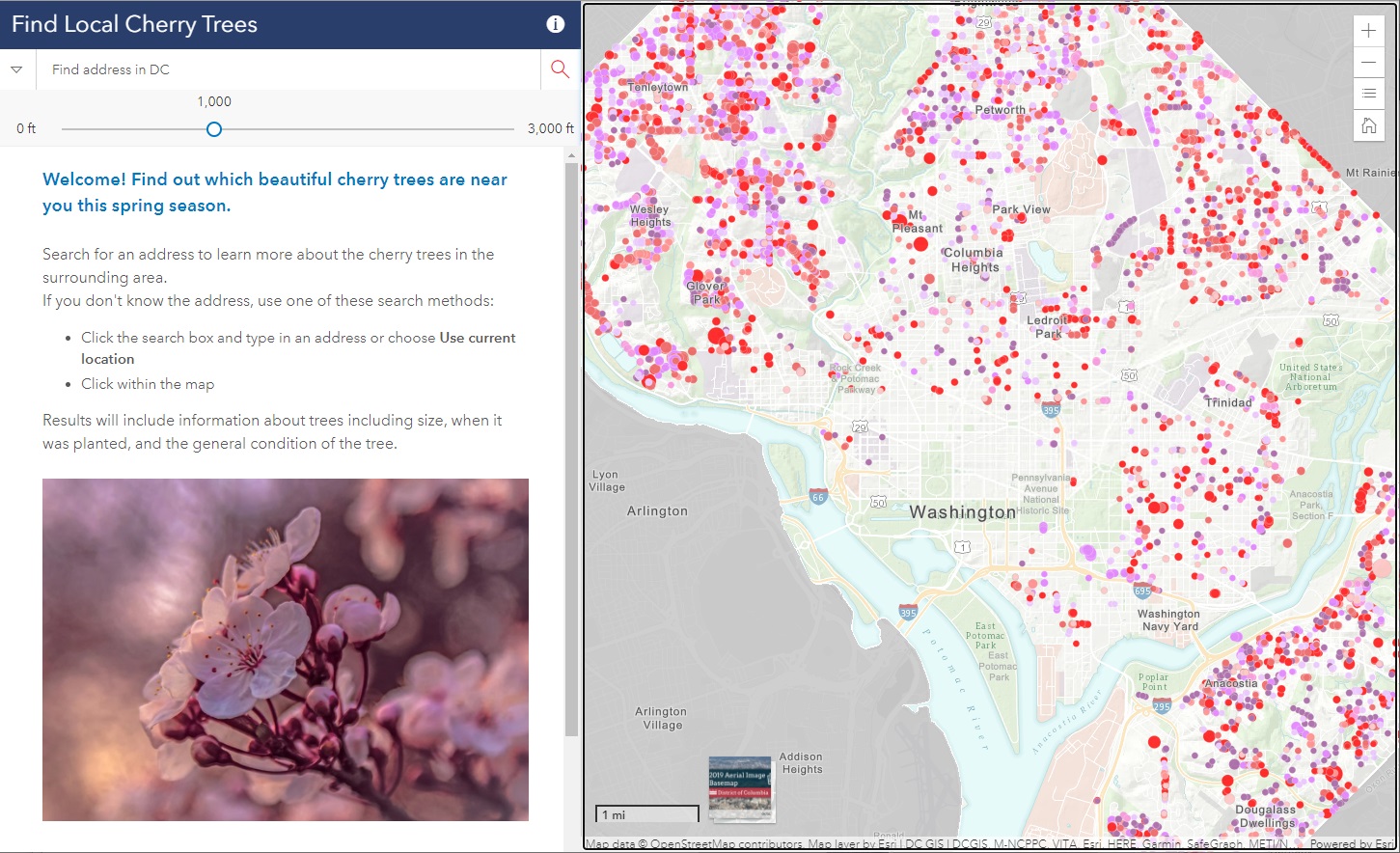
Did you know that there are almost 10,000 cherry trees outside of the tidal basin to see throughout D.C.? SymGEO was honored to help DDOT build the DC Local Cherry Tree Finder leveraging the Urban Forestry Division‘s tree inventory and ArcGIS Online‘s configurable applications to quickly assemble and launch in time for peak blooming.
If you missed it this year, don’t worry, there’s always next spring season!
Talk to our industry experts today if your agency or organization is interested in community engagement with the power of Esri’s ArcGIS mapping solutions – SymGEO is here to help!
