DELIVERING EXPERT MAPPING SOLUTIONS AND DIGITAL COMMUNITY ENGAGEMENT PLATFORMS
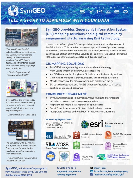
SymGEO provides Geographic Information System (GIS) mapping solutions and digital community engagement platforms for government, commercial, and non-profit clients.
We specialize in geospatial data analytics, insightful visualizations, and compelling narratives to help our clients make informed decisions and tell an engaging story with their data. We leverage available spatial data, modern GIS technology, and a holistic worldview. SymGEO provides actionable intelligence to help answer local and global challenges by connecting “the dots” of subject matter expertise, evolving technology, and best practices to benefit our clients. See our printable capabilities statement for more information.
SymGEO is the spatial arm of Symago LLC, a small, minority, woman-owned technology company based in Maryland. As a GSA IT Schedule 70 holder (47QTCA19D00AL), we offer competitive rates and flexible staffing arrangements.
SymGEO is based on the founding principles that people:
- Want to make informed decisions as quickly as possible
- Are most comfortable with data they can see and understand
- Will use modern technology when presented in an approachable manner
With 20 years of applied GIS, remote sensing, data visualization and analytical experience, we work with our clients to design innovative solutions that fit their individual needs. SymGEO focuses on cost-effective, iterative solutions using configurable applications developed in an Agile environment to put the needed tools in our clients' hands as quickly and efficiently as possible. From idea conception to successful delivery, we work with our clients and data partners every step of the way.
Our extensive product and service offerings include:
GIS MAPPING SOLUTIONS
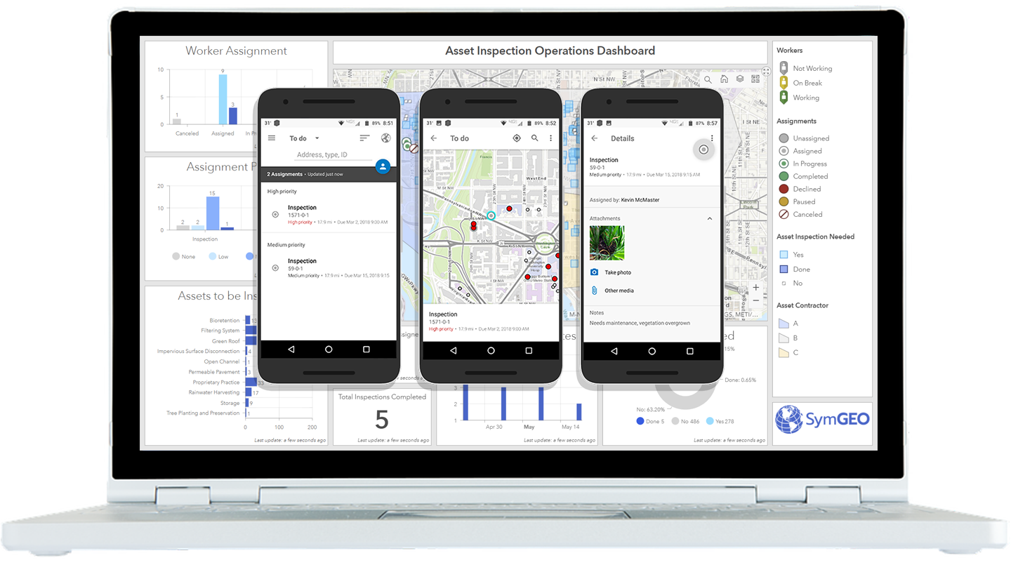
- ArcGIS Dashboards, StoryMaps, Solutions, and Hub configurations
- Gain insight into spatial trends, outliers, and changes over time
- Mobile responsive for data collection on the go
- Wide range of solutions for every challenge
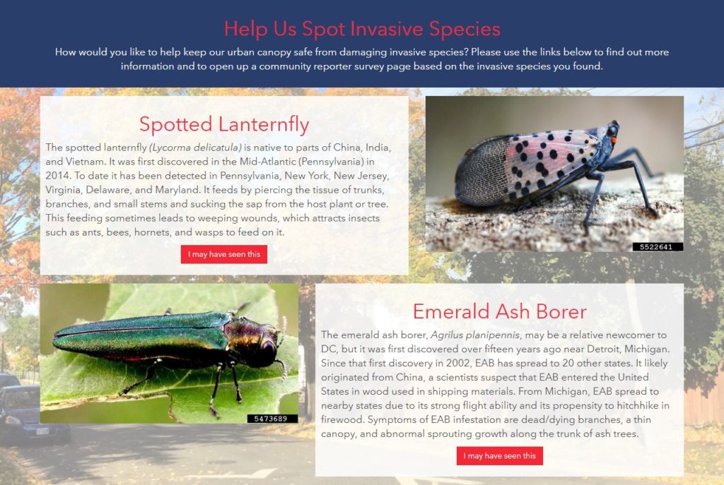
COMMUNITY ENGAGEMENT
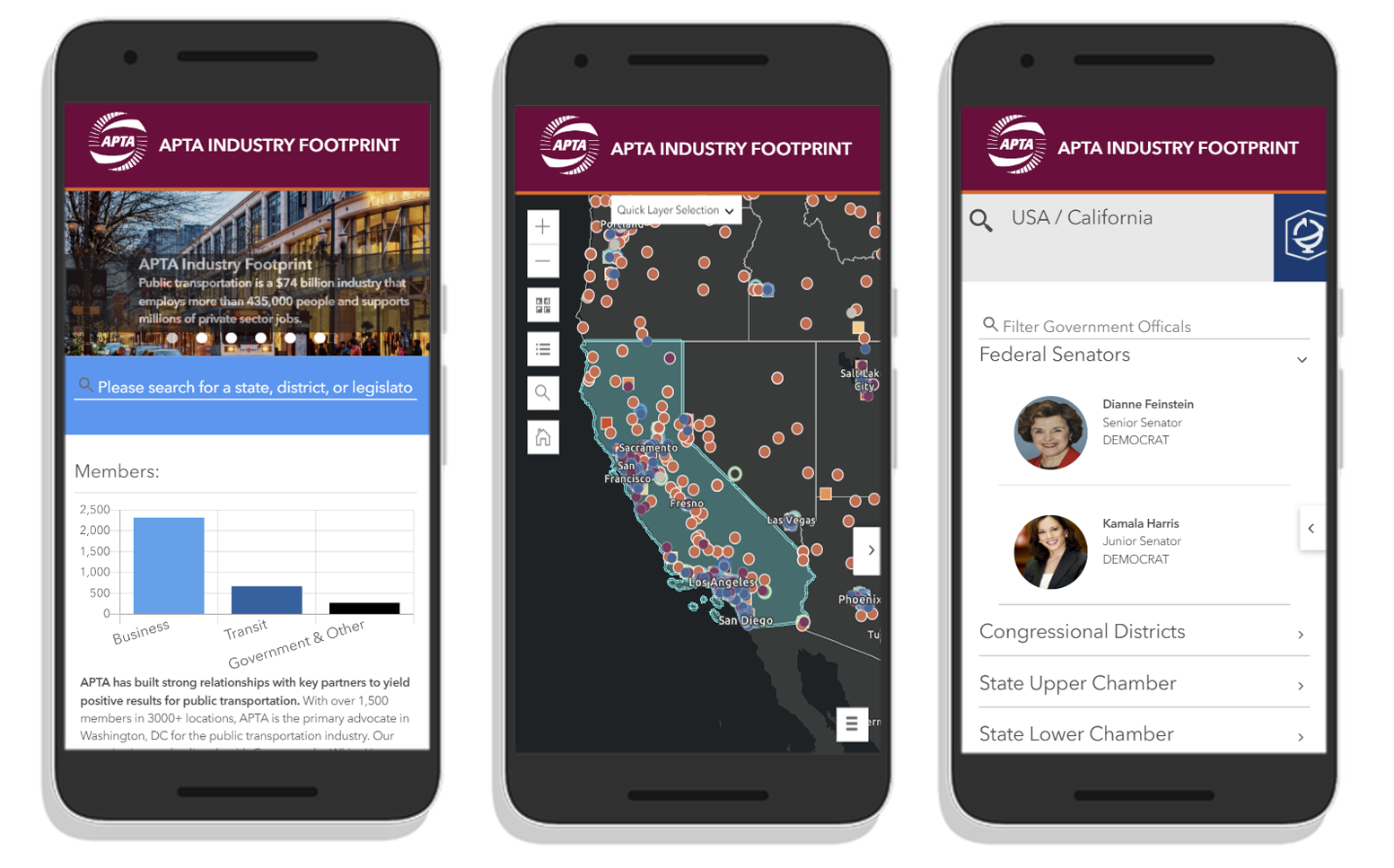
- Highlight key maps, data, reports, or applications
- Enlist “people as sensors” to keep data fresh and current
- Incorporate surveys and feedback for two-way engagement
- Flexible and dynamic platform configured based on need
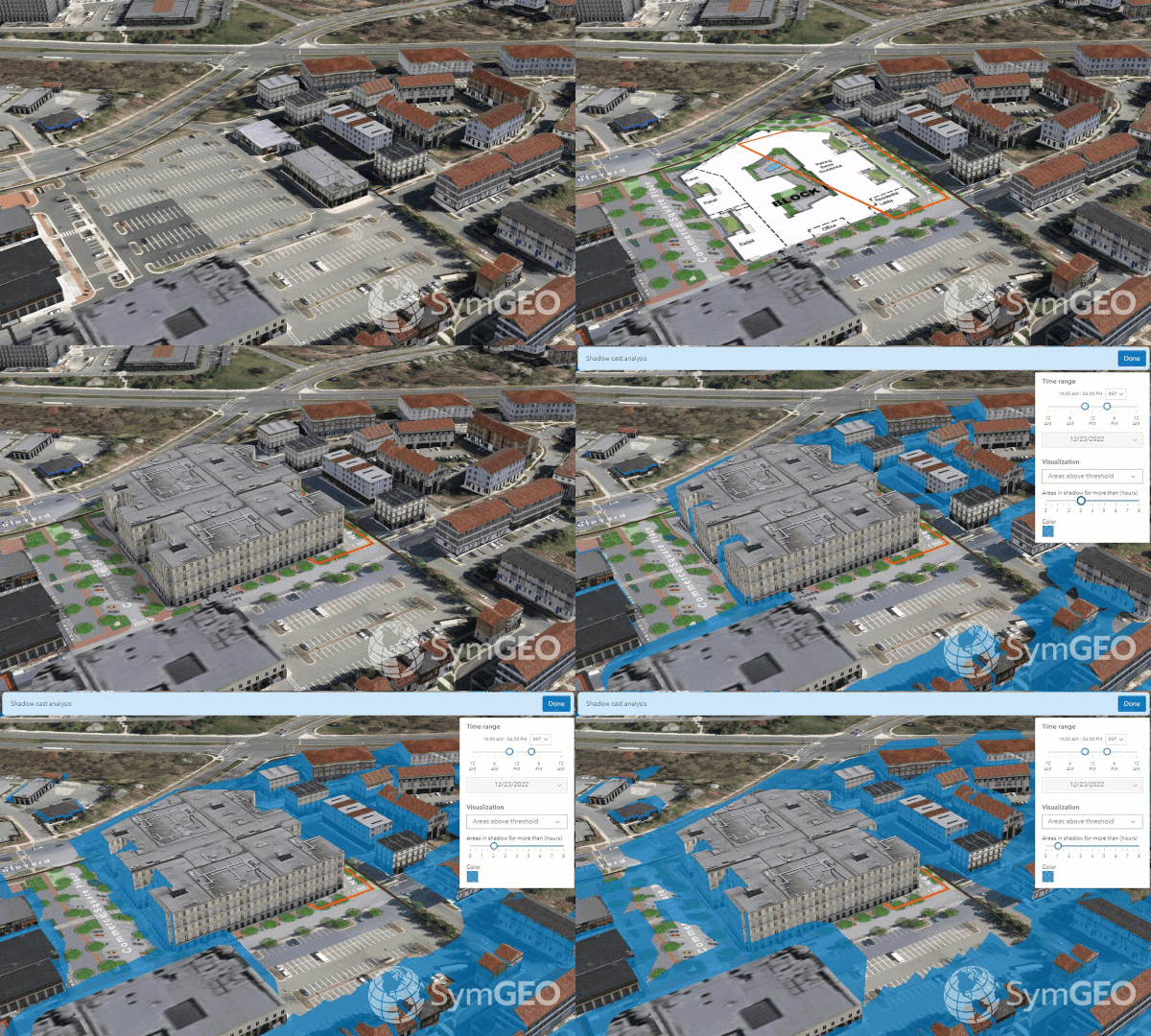
3D BUILDING INFORMATION MANAGEMENT (BIM)
- Use 3D data to build interactive digital city models
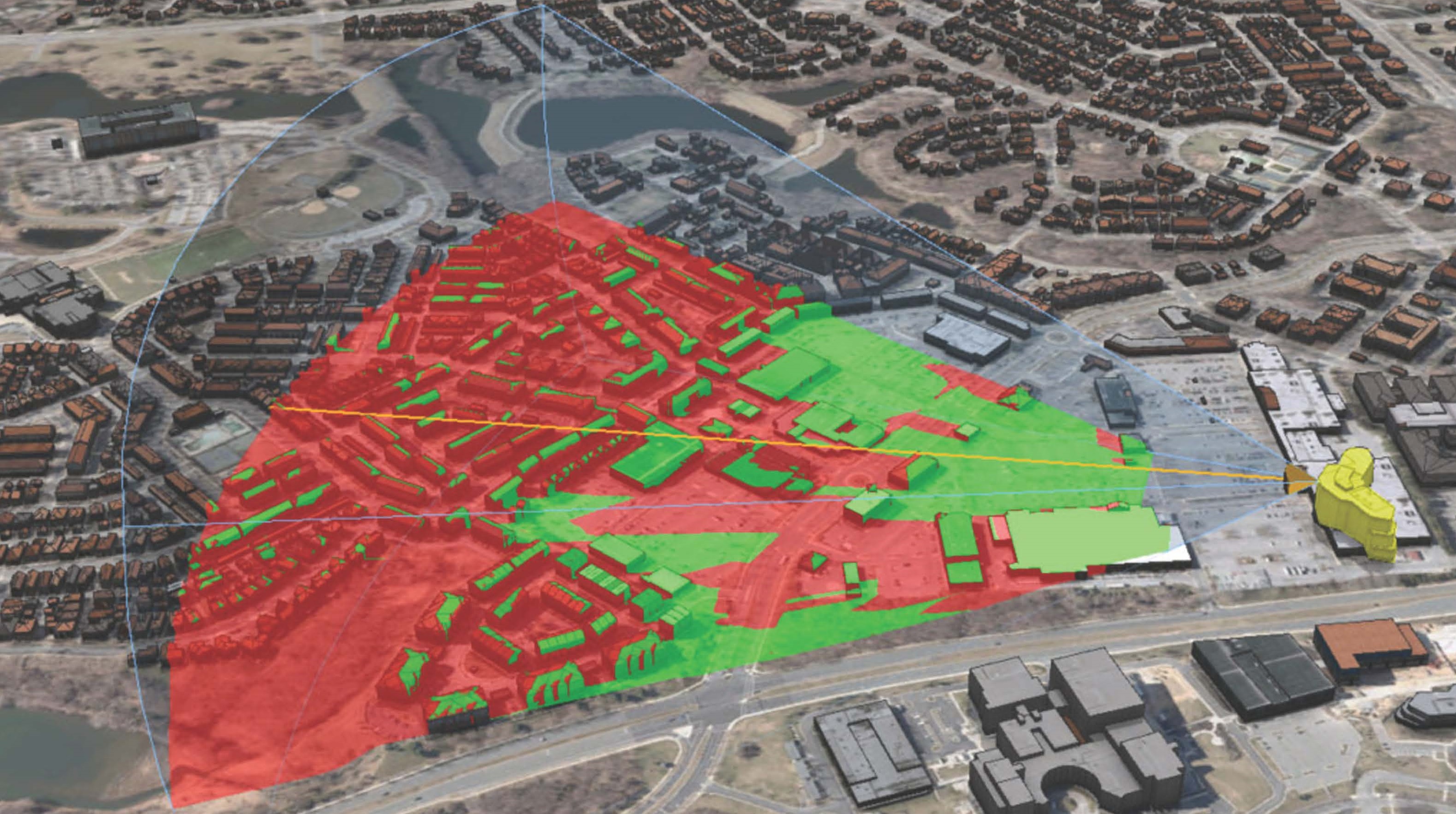
- Leverage ArcGIS Urban to visualize and analyze existing conditions or proposed scenarios
- Scale up to a city, or focus on a local development
- Conduct viewshed analysis or facility asset management
- Save online and share interactive models on social media

SymGEO is a proud Esri Partner (Silver level), integrating best-in-class ArcGIS technology into our products and solutions, as seen in our ArcGIS Marketplace listings. We are also honored to be included in the following specialty programs that recognize our demonstrated expertise and delivery of solutions and services:
- ArcGIS System Ready - leverage the latest versions of ArcGIS
- ArcGIS for State and Local Government Specialty - expertise in state and local government, implementation, and delivery of services that help customers succeed
- ArcGIS Nonprofit Specialty - expertise and delivering services or developing solutions leveraging Nonprofit environments
- ArcGIS Hub Specialty - enable customers to build a bridge between government departments and communities
- Federal Small Business Specialty - developing opportunities to provide consulting, implementation, and solutions for the ArcGIS platform to the Federal Government user community
- We are certified ArcGIS Desktop associates and ArcGIS Online Administration specialists
CONTACT US TODAY

9841 Washingtonian Blvd., Suite 200-310
Gaithersburg, MD 20878
