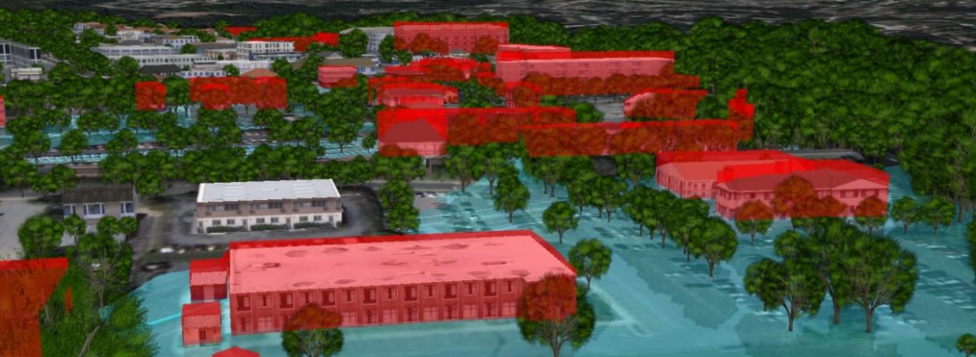
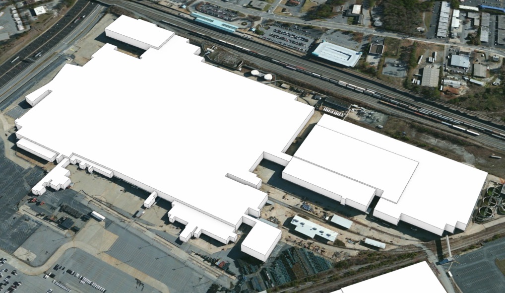
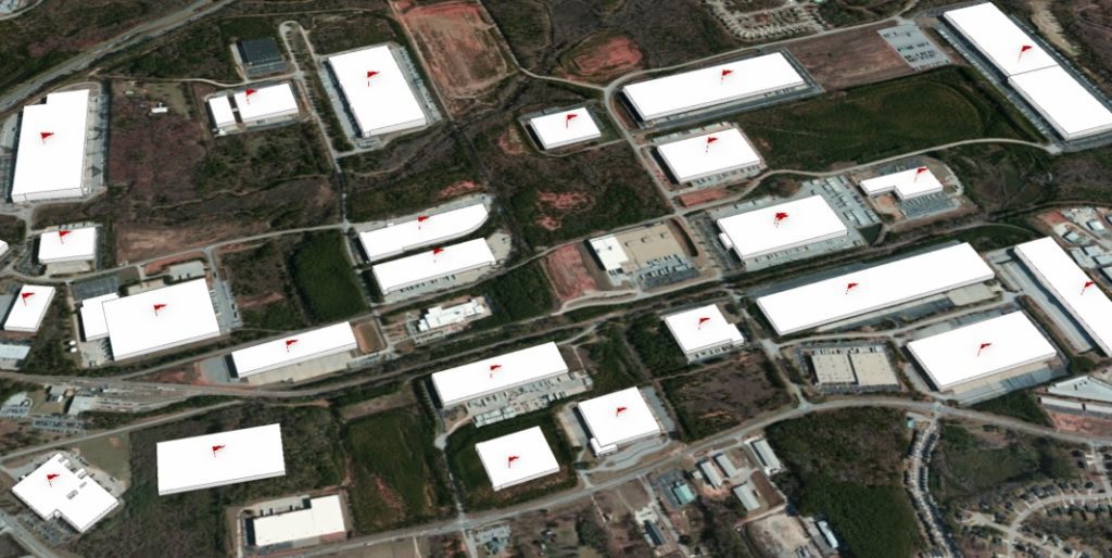
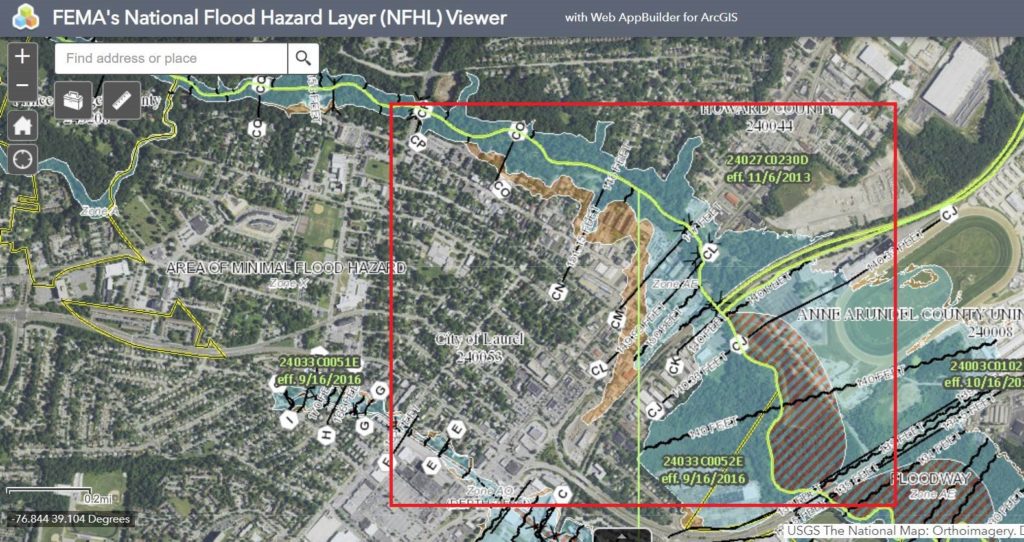
SymGEO is excited to demonstrate flood visualization technology built on the Esri Local Government 3D Basemap Solution. In this example, the City of Laurel, Maryland, has a number of buildings that are located in the floodplain and are therefore at risk of flooding. This information can be conveyed using the FEMA National Flood Hazard Layer (NFHL) Viewer as shown below, but we decided to bring this data to life using an Esri ArcGIS Solution instead!
Our journey began with a virtual trip to the Maryland iMap GIS data portal to download the best-available LiDAR data for our area of interest. We then visited the Maryland-National Capital Park and Planning Commission GIS Open Data portal to get building footprint information. Finally, after following the defined steps in the ArcGIS Local Government Solution, we were able to visualize flood impacts in realistic 3D from citywide to local perspectives.
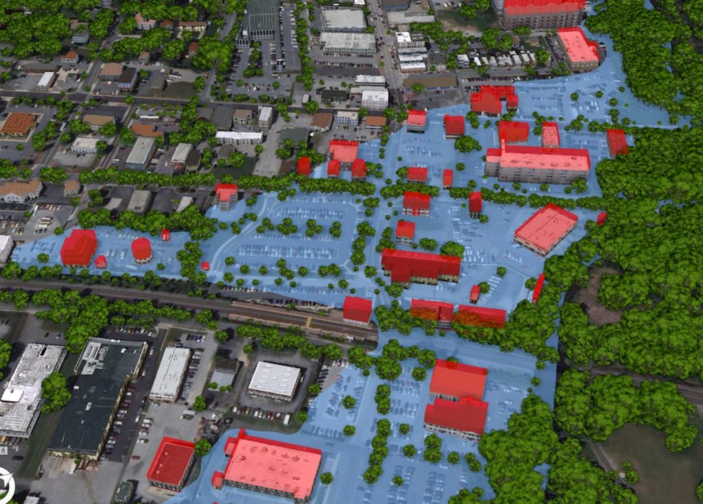
Realistic building textures, vegetation, and current imagery allow the user audience to recognize features and landmarks during demonstrations. Streets can be labeled, and buildings of interest can be highlighted with either labels or colors to call attention to focus areas.
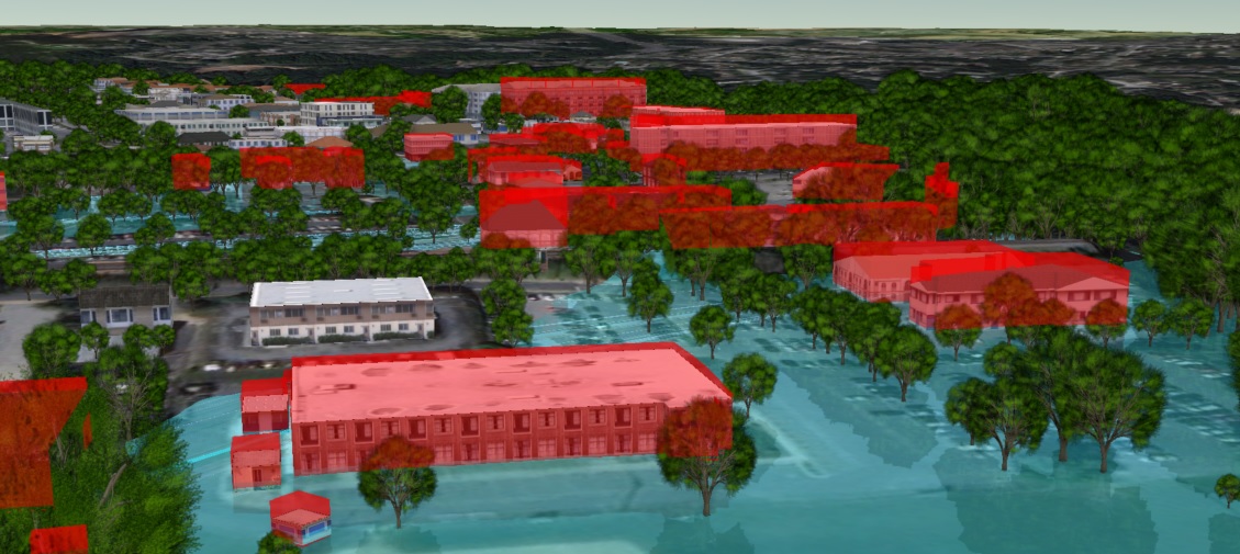 Continual improvements using Esri’s 3D rendering and animation technology enable fly-throughs, call-outs, layer transitions, time-lapse visualizations, and other features and functionality that make this 3D basemap solution the perfect tool to communicate risk and mitigation plans.
Contact SymGEO for your 3D visualization and communication needs and start a conversation today!
