The Lincoln Institute of Land Policy seeks to improve quality of life through the effective use, taxation, and stewardship of land. As a nonprofit private operating foundation whose origins date to 1946, the Lincoln Institute researches and recommends creative approaches to land as a solution to economic, social, and environmental challenges. Through education, training, publications, and events, they integrate theory and practice to inform public policy decisions worldwide.
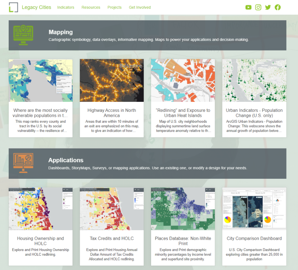
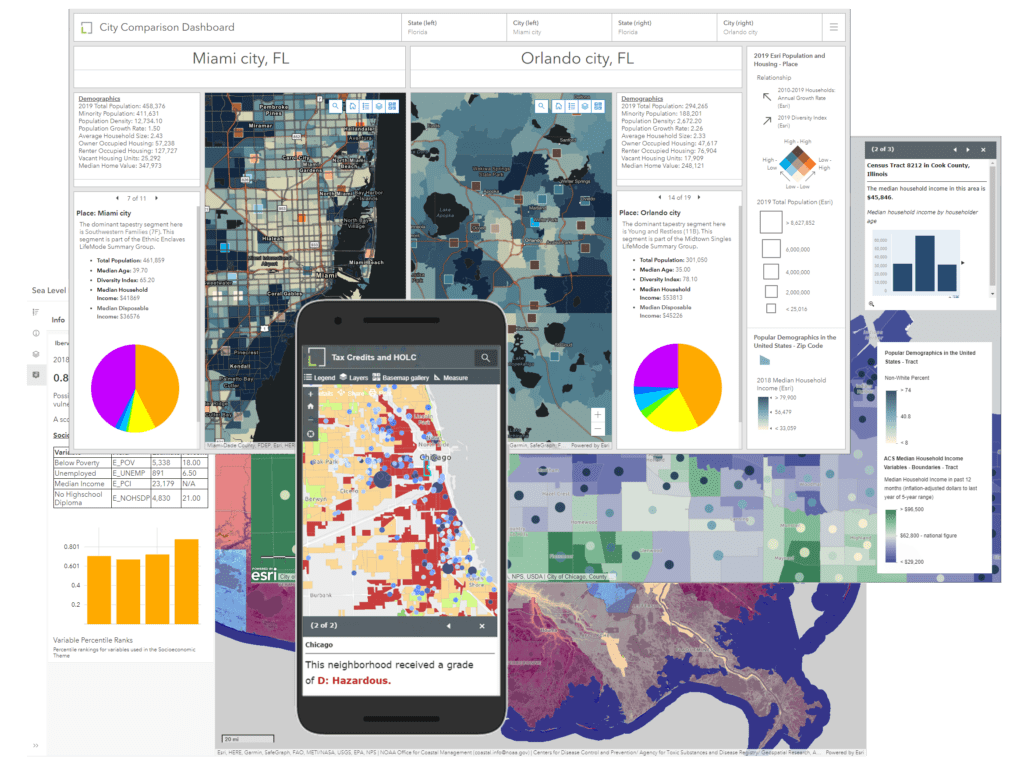
SymGEO partnered with the Lincoln Institute to build an internal, central ArcGIS Hub platform and support five of their Centers and Initiatives. This involved curating and displaying authoritative data layers detailing resource equity, population demographics, historic redlining information, land zoning information, and historic city spending and revenue information among others.

Configurable applications, including ArcGIS Dashboards and web applications, were built to facilitate the exploration of data and visualization of analytical results.

“SymGEO has the unique ability to distill content into compelling visual geospatial products and narratives that tell a story and help track impacts. They are very proactive, responsive, great communicators, and can spin up apps quickly as proof of concepts that help with design decision-making. It has been a great experience working with them collaboratively, and I highly recommend SymGEO as a geospatial solution expert.”
– Director, Partnerships and Strategy, Lincoln Institute of Land Policy
Talk to SymGEO today if your organization would like to build a central spatial data hub framework using the power of Esri’s ArcGIS Online platform – we are certified experts and here to help.