Urban Tree Canopy Change Storymap

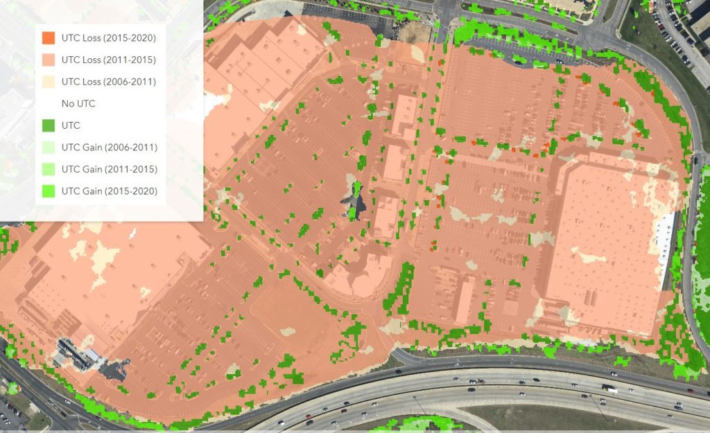
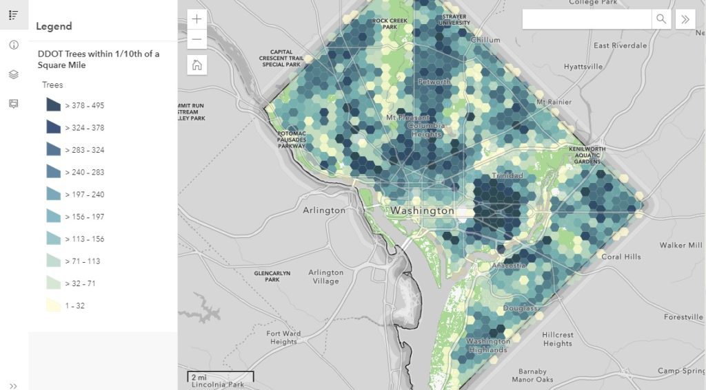
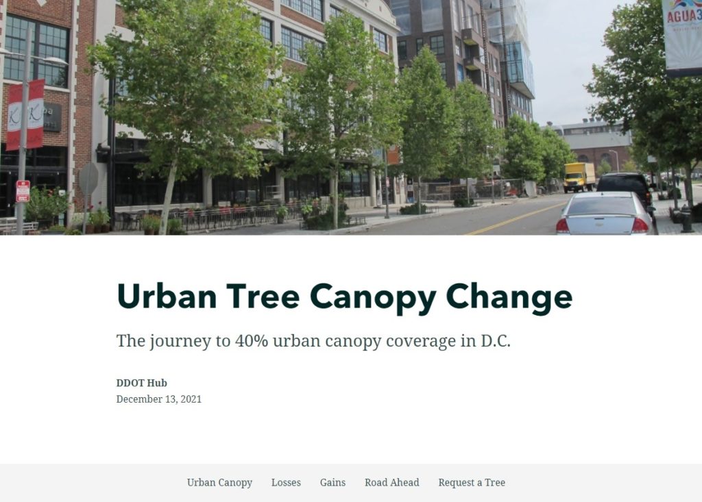
DDOT’s Urban Forestry Division (UFD) is the primary steward of Washington, D.C.’s ~175,000 public trees and has a mission of keeping this resource healthy, safe, and growing. Among many other benefits, these trees improve our air and water quality, cool our neighborhoods, and provide critical habitat for many animals. While D.C.’s Urban Tree Canopy (UTC) is already at an impressive 38%, the UFD has a goal of 40% by 2032. To learn more about the gains and losses experienced during the journey to 40%, SymGEO recently partnered with the UFD to create a StoryMap that explores example areas throughout D.C. and lays out the steps needed to reach the 40% canopy coverage goal.

This mobile-responsive story begins with an overview of the current canopy coverage in DC and explores select examples detailing areas of loss and areas of gain.

Areas of loss are typically due to commercial developments, new residential developments, supporting road and transportation infrastructure, or individual tree loss due to natural causes or storm damage. 
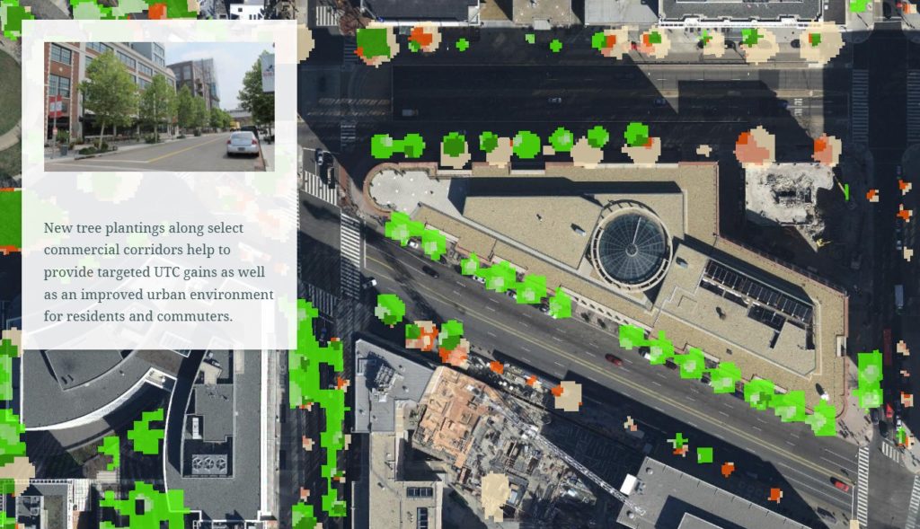
Areas of gain can be attributed to plantings along commercial corridors, or in new residential developments to help alleviate the urban heat island effect, or due to the natural growth of trees over time.

Finally, a call to action is made for homeowners to request their own free shade-providing tree, or to report an open planting box ready for a new tree.

Talk to SymGEO industry experts today if your agency or organization is interested in community engagement with the power of Esri’s ArcGIS StoryMap technology –  we are a certified Esri business partner and are here to help.
Wood Reuse Storymap

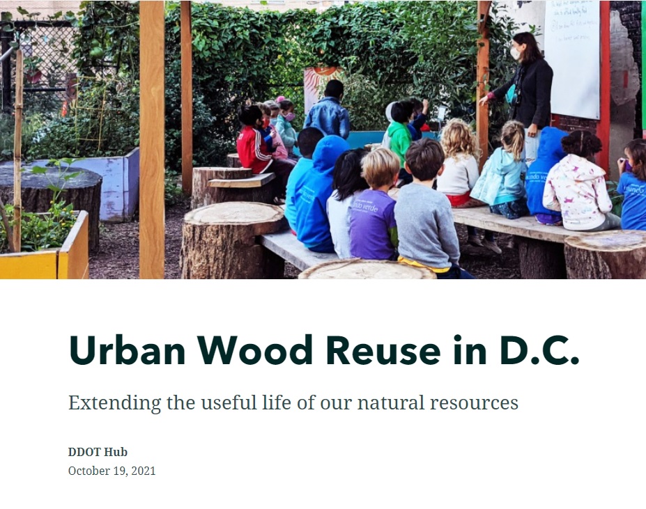
Did you know that the Urban Forestry Division (UFD) in Washington D.C. offers schools and parks the opportunity to enjoy a variety of useful products to improve school grounds and parks at no cost? Made from upcycled public trees, these finely crafted benches, stumps, and other seating structures serve as living classrooms and natural storage lockers for carbon, all the while connecting students to the natural resources around them. Learn more about this fantastic program with a new StoryMap produced by SymGEO in collaboration with UFD below.

Talk to our industry experts today if your agency or organization is interested in community engagement with the power of Esri’s ArcGIS StoryMap technology – SymGEO is a certified Esri business partner and is here to help.

Heritage Tree Relocations in D.C.

Urban trees in the city are critical to our well-being. Among many other benefits, trees improve our air and water quality, cool our neighborhoods, and provide nurturing habitats for birds, bees, and numerous wildlife. Large trees provide greater environmental benefits than smaller trees and are protected from unnecessary damage or removal by the Urban Forest Preservation Act and the Tree Canopy Protection Act in the District of Columbia.

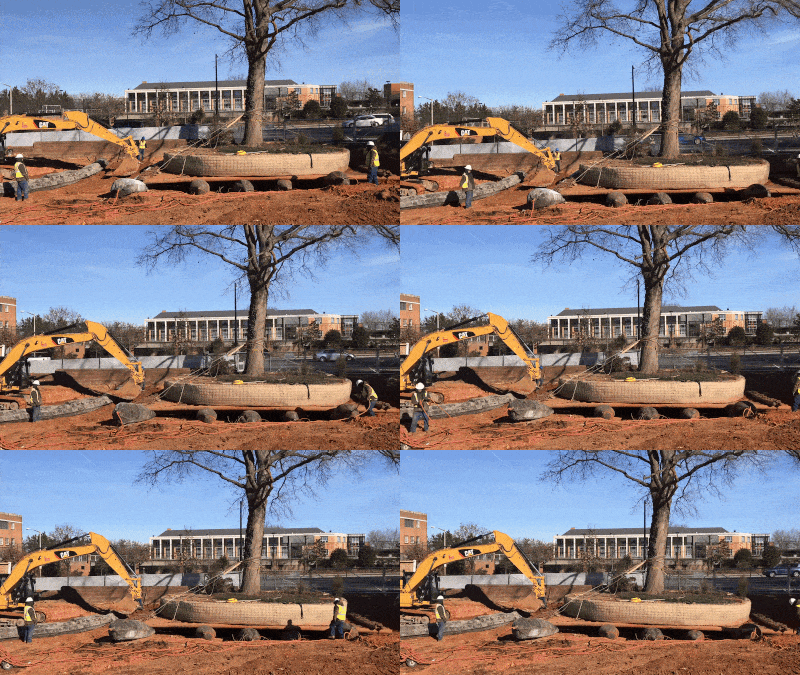
Learn all about the how, why, and when large “heritage” trees in D.C. have to be moved out of harm’s way during construction projects in a new StoryMap developed in collaboration with the Urban Forestry Division of the District Department of Transportation (DDOT).

Heritage tree relocation – video by Jacob Fenston / WAMU

Talk to our industry experts today if your agency or organization is interested in community engagement with the power of Esri’s StoryMap technology – SymGEO is a certified Esri business partner and is here to help.

DC State Forest Action Plan

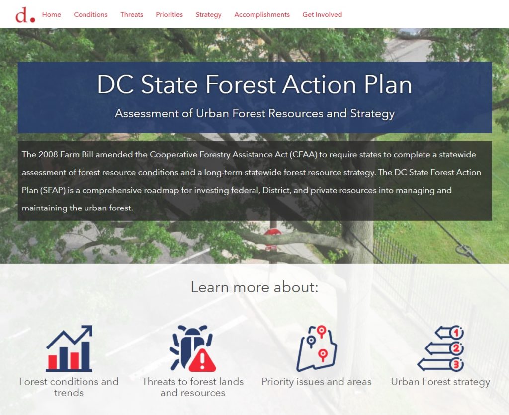
The District Department of Transportation (DDOT)’s Urban Forestry Division (UFD) is the primary steward of Washington DC’s 170,000+ public trees and has a mission of keeping this resource healthy, safe, and growing. Among many other benefits, urban trees improve the air and water quality, cool the neighborhoods, and provide critical habitat for birds, bees, and urban wildlife. As part of their long-term statewide forest resource strategy, the UFD has created the DC State Forest Action Plan (SFAP). This plan is a comprehensive roadmap for investing federal, District, and private resources into managing and maintaining the urban forest.

To help highlight the achievements and findings of the plan, SymGEO created the DC SFAP Hub site, full of condensed information from the full report.

The DC SFAP Hub site integrates numerous data sets, Dashboards, StoryMaps, and other helpful visualizations to support the findings of the report and long-term strategy.

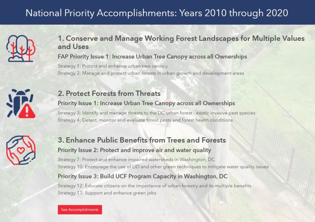
Key accomplishments from the last ten years are presented with links to further information and full documentation.

Explore the DC SFAP Hub site to learn more about D.C.’s forest conditions and trends, threats to forest lands and resources, priority issues and areas, and the long-term urban forest strategy.

Talk to SymGEO industry experts today if your agency or organization is interested in community engagement with the power of Esri’s ArcGIS Hub, Dashboards, or ArcGIS StoryMaps –  we are here to help!

DC Cherry Tree Viewer

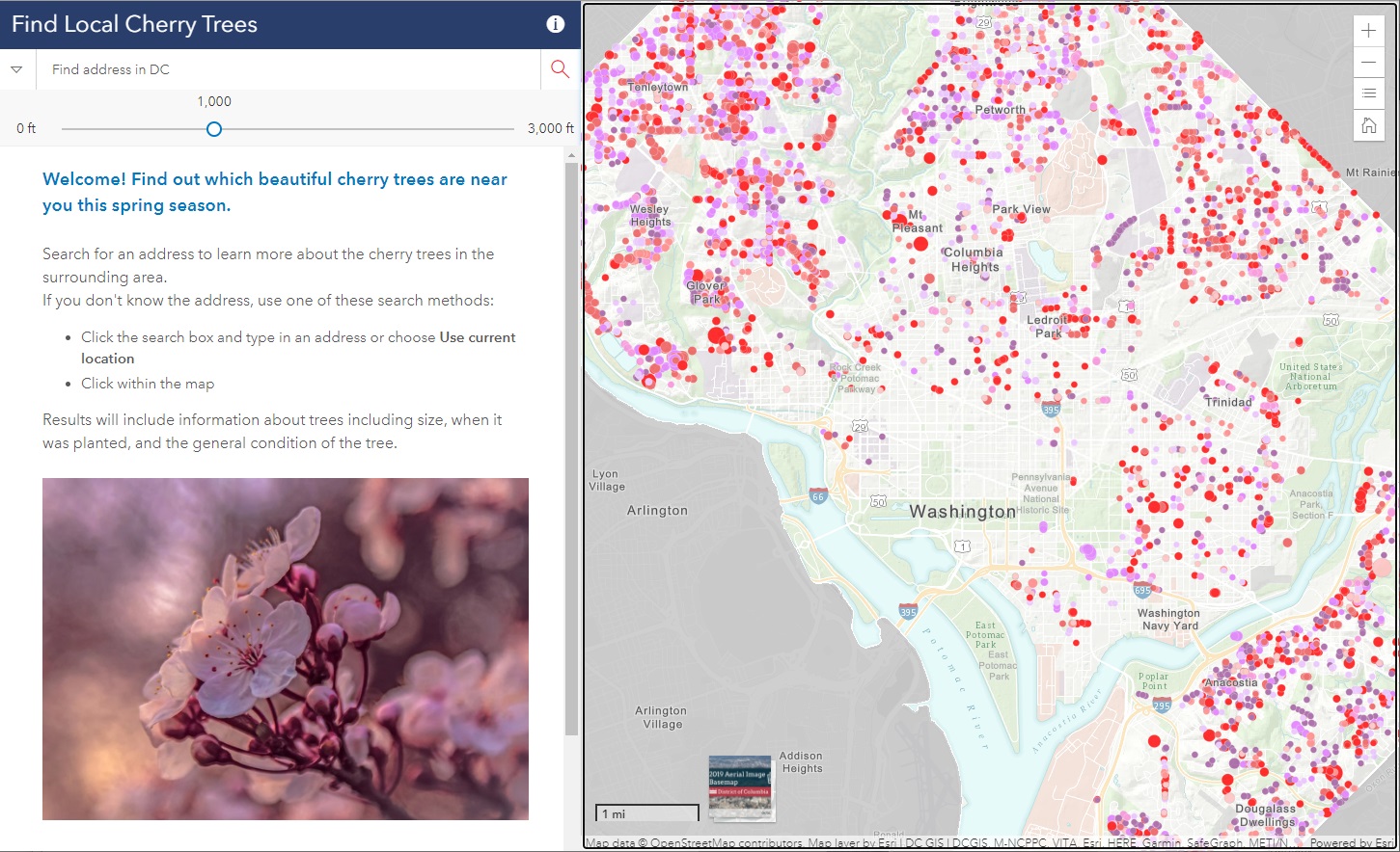
Did you know that there are almost 10,000 cherry trees outside of the tidal basin to see throughout D.C.? SymGEO was honored to help DDOT build the DC Local Cherry Tree Finder leveraging the Urban Forestry Division‘s tree inventory and ArcGIS Online‘s configurable applications to quickly assemble and launch in time for peak blooming.

If you missed it this year, don’t worry, there’s always next spring season!

Talk to our industry experts today if your agency or organization is interested in community engagement with the power of Esri’s ArcGIS mapping solutions – SymGEO is here to help!

Pop-up Arboretum

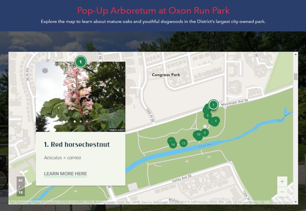
An arboretum is a place where trees, shrubs, and other plants are grown for scientific and educational purposes. A park typically has trees, shrubs, and other plants for the enjoyment of families and friends. Why not have an arboretum in a park? Genius! Check out the first “pop-up arboretum” at Oxon Run Park in Ward 8 by the District Department of Transportation’s (DDOT) Urban Forestry Division. SymGEO is pleased to help launch the Pop-Up Arboretum website with all the specifics of what amazing things can be found at this natural outdoor exhibit.

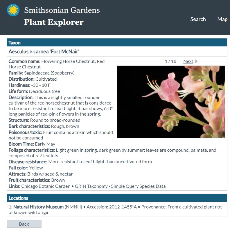
The site is built using ArcGIS Hub technology and features an ArcGIS StoryMap designed to help guide people on their outdoor educational adventure. The site also links to scientific information about each tree species provided by the Smithsonian Institute’s Plant Explorer.

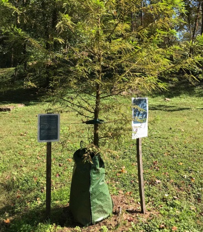
Signs are posted on or near the trees in English and Spanish with QR Codes that link back to the Pop-Up Arboretum website for further information. Be sure to enjoy our natural environment while learning all about the trees at Oxon Run Park!

Talk to our industry experts today if your agency or organization is interested in community engagement with the power of Esri’s ArcGIS Hub or ArcGIS StoryMaps – SymGEO is here to help!

Tree Permitting

Did you know that any Washington DC resident or contractor who wishes to plant, prune, or remove a tree within the public right of way must first obtain permission from the District Department of Transportation (DDOT) and the Urban Forestry Division? However, knowing when, where, and how to get the right permit for tree work in DC can be a complicated process. Fortunately, DDOT has a new resource available to make it easy! Check out the Tree Permitting Hub site to answer all tree permitting questions.


SymGEO built the Tree Permitting site using ArcGIS Hub technology, which leverages ArcGIS Online mapping and graphic examples to help explain what type of permit is needed based on tree location, property boundaries, and tree size. The site also explains the benefits of the Income Contingent Hazardous Tree Mitigation Program that provides assistance with the removal of a hazardous tree on an owner’s private property.

As an example of “good to know” information, Washington D.C. is unique in that it has dedicated park space along most streets. This “parking” area is generally used for landscaping, retaining walls, trees, and other greenery. Just like on private land, all landscape elements (including trees) in this parking area are the responsibility of the homeowner to maintain. On the other hand, all trees located in the public “sidewalk” area are the responsibility of the city to maintain. However, these trees may be negatively impacted by development or construction projects and need to be considered before projects begin.

Talk to our industry experts today if your agency or organization is interested in community engagement with the power of Esri’s ArcGIS Hub or mapping with ArcGIS Online – SymGEO is here to help!

Tree Preservation

Did you know that trees are so important to Washington DC that they are protected by the Urban Forest Preservation Act and the Tree Canopy Protection Act? This means that before performing any excavation or construction activity on private property, it is important to consider any potential impacts to the trees on site. To facilitate this process, SymGEO is proud to help DDOT launch a new resource, the Tree Preservation Hub site, for property owners and construction companies to identify which trees need to be protected and how to best take care of them during home renovations or new construction projects.

tree preservation hub site

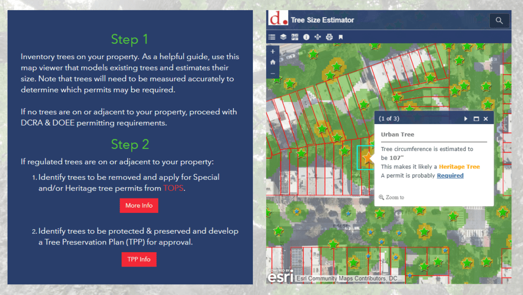
Built using ArcGIS Hub technology, this site leverages ArcGIS Online mapping and graphic examples to help explain what type of permit or protection plan is needed based on estimated tree size. Tree sizes were estimated using LiDAR processing, which in turn is used to estimate the critical root zone and structural root zones that need to be protected during construction. Modeling several hundred thousand trees at the same time has its challenges; however, ArcGIS Pro, ArcGIS Enterprise, Arcade expressions, and hosted image services were used to efficiently capture and share the modeling results.

Talk to our industry experts today if your agency or organization is interested in community engagement with the power of Esri’s ArcGIS Hub or data processing with ArcGIS Pro – SymGEO is here to help!